Last week, GeoSpatial Services (GSS) staff Kevin Stark and Eric Lindquist traveled to the Fort Apache Indian Reservation in Arizona to conduct wetland training for White Mountain Apache tribal staff. Topics included how to use wetland and riparian GIS data recently created by GSS, an introduction to the wetland classifications used in the GIS data, and suggestions on how the tribe might use these data in conjunction with their ongoing spring inventory and water quality data monitoring efforts.
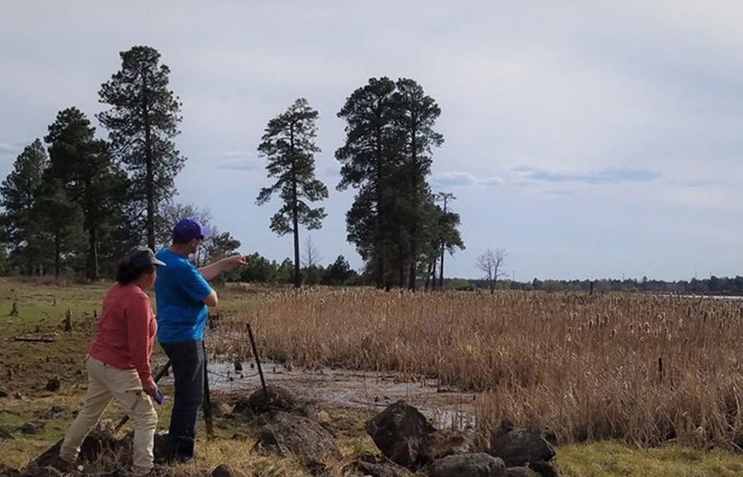
They also discussed using the data to predict wetland functions and to help determine where the tribe might engage in wetland protection, enhancement, and restoration on tribal lands. The group took field trips to several locations on tribal lands including spring-fed wetlands, streams, floodplains, and restoration sites where wetland classifications, mapping, and wetland functions were discussed.