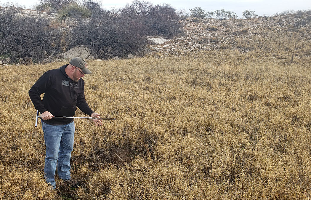
During early December, GeoSpatial Services (GSS) staff members Kevin Stark and Eric Lindquist traveled to southeast New Mexico to begin wetland field verification for a Bureau of Land Management project that will eventually include eight western states. They visited selected wetland sites, including some in the Permian Basin, an area where oil and gas production is booming, which has the potential to threaten valuable wetlands. The team verified and confirmed preliminary mapping done by GSS and worked to learn more about a newly created key for inland wetlands of the western U.S. To learn more about this fieldwork and the new wetland key, visit geospatialservices.org/news/.
GSS kicks off western fieldwork